Welcome to Corfe Mullen Town Council website
We hope you will find our new website a valuable resource
To find out more about what is happening in Corfe Mullen and the work of the Town Council.
You can contact us in the following ways:
- Tele No. 01202 698600 lines are open between 9am and 2pm Monday to Thursday
- Email [email protected]
- Visit us: Council office, Towers Way, Corfe Mullen BH21 3UA (behind the large Co-op) between 9am and 2pm, Monday to Thursday
- or follow us on Facebook & Instagram.
Corfe Mullen Statistics:
Information provided by Dorset Council
- Population: 10,250 (latest figure available)
- Area: 1,226 hectares
- Electorate: 8005 (as at 02/05/2024)
- Number of residential properties: 4392
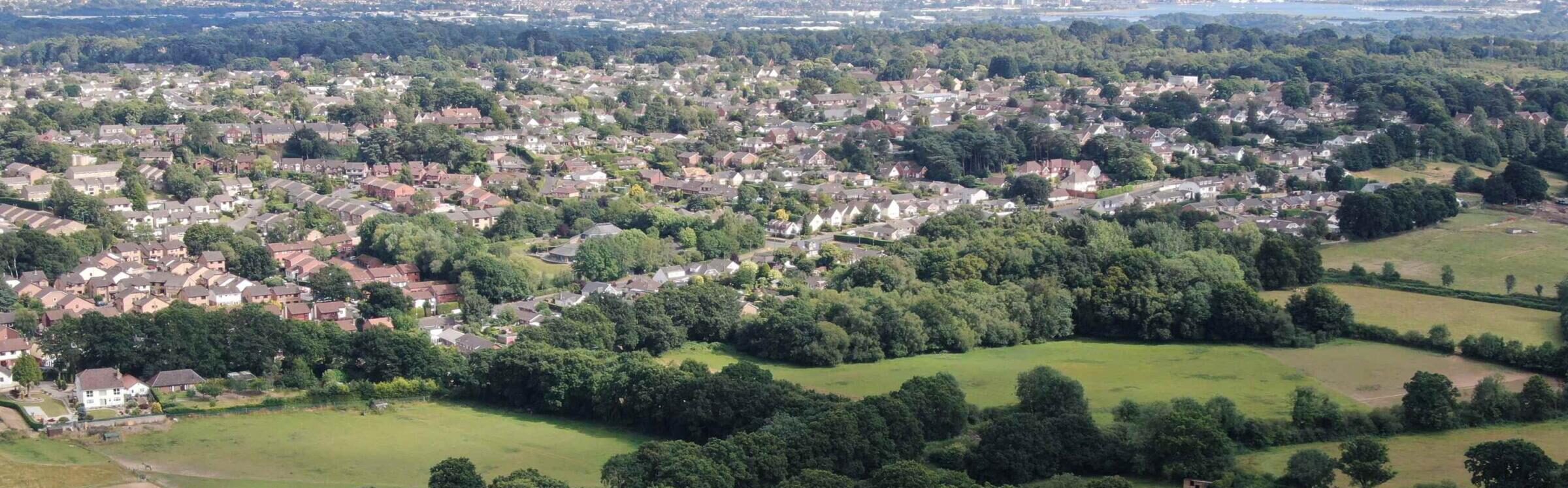
Corfe Mullen is a large civil parish in the county of Dorset, situated on the north-western urban fringe of the Poole-Bournemouth conurbation. Although set on the edge of an urban area, Corfe Mullen is surrounded by the Green Belt and forms part of the rural district of East Dorset.
The name Corfe Mullen is from the Old English corf “a cutting or pass”, and the Old French molin “a Mill” which refers to the old water mill on the River Stour, where the original village stood.
Although large, Corfe Mullen retains its village identity with four churches, three pubs, three schools, various shops and local businesses, a village hall, and a whole host of community and sports organisations which help to preserve the community spirit and sense of belonging.
The Town Council has excellent recreational facilities for the enjoyment of residents: 44 acres at Corfe Mullen Recreation Ground, plus over 11 acres at Springdale Road Open Space in the southern part of the village. It also owns the Towers Way Green Space.